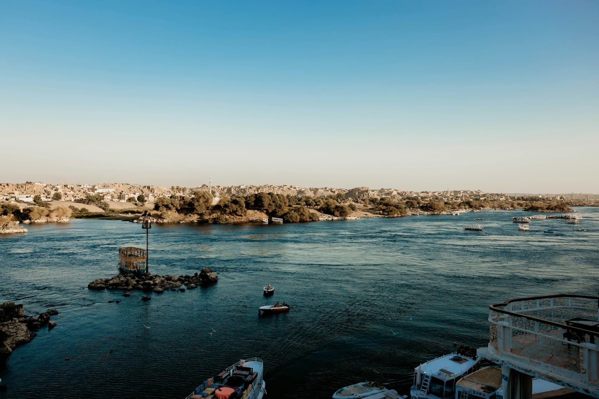
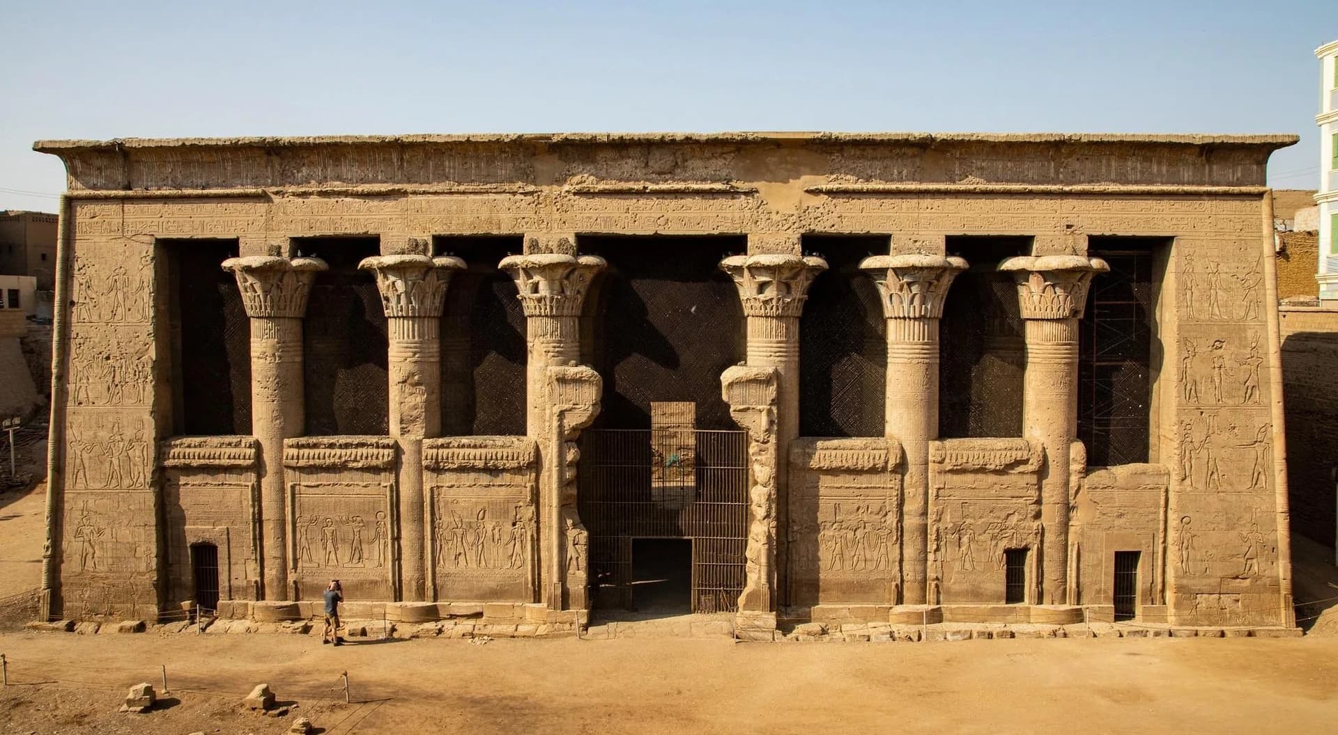
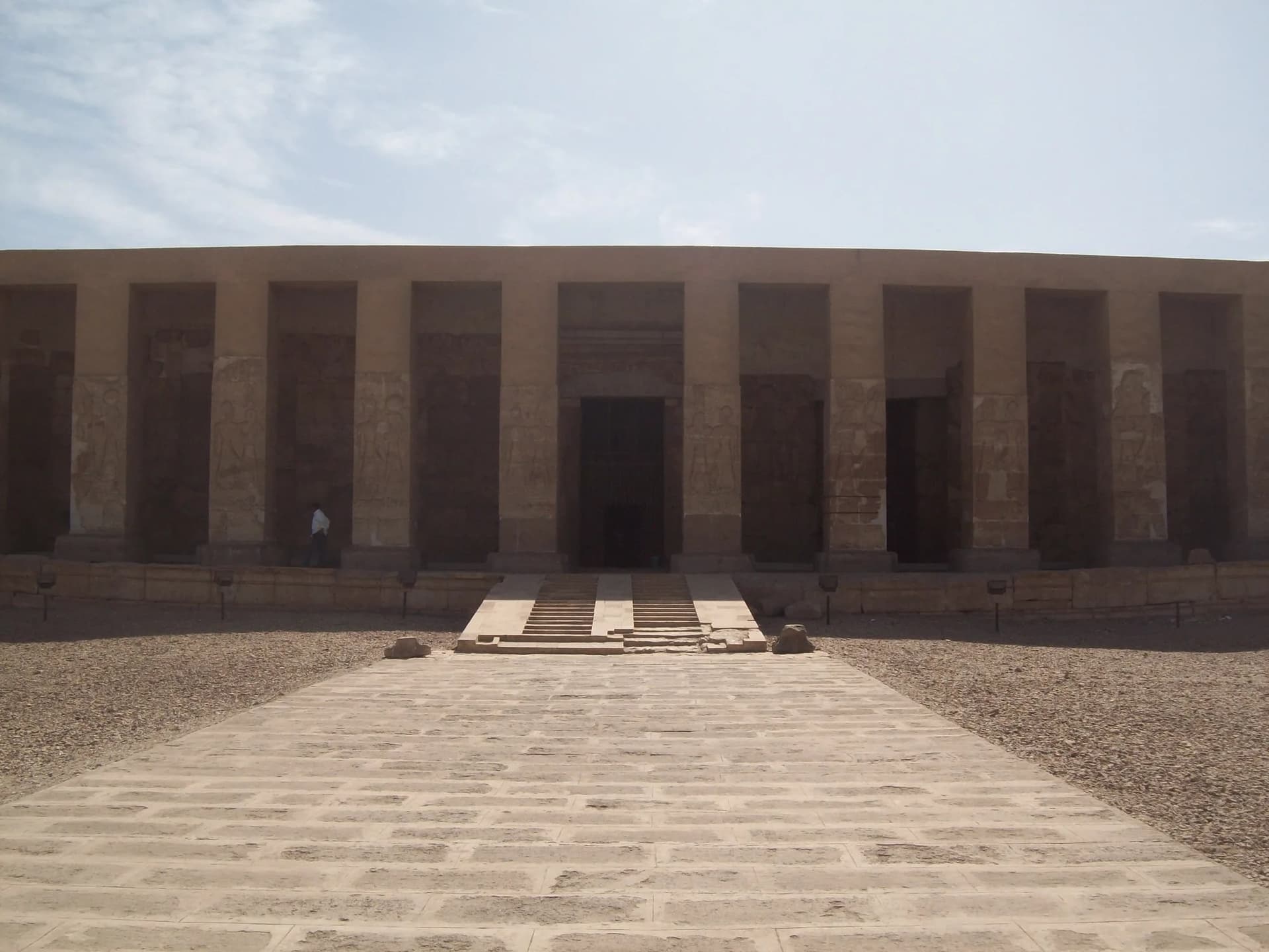
For most of recorded history the Nile flooded every summer, depositing silt across the flood plain. The height of that flood determined whether Egypt ate. The entire administrative apparatus of ancient Egypt — surveying, taxation, the calendar — was organised around measuring and predicting it.
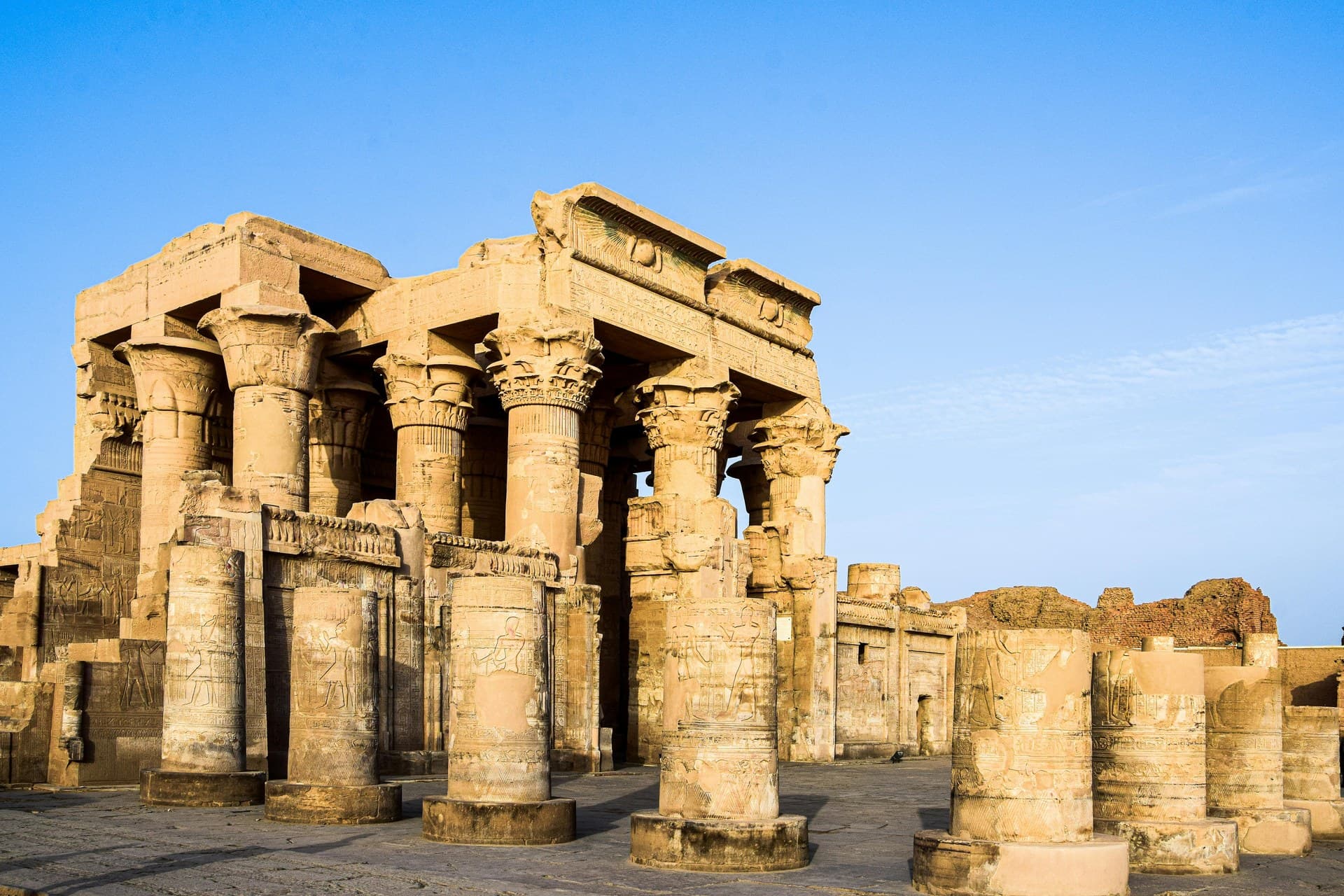
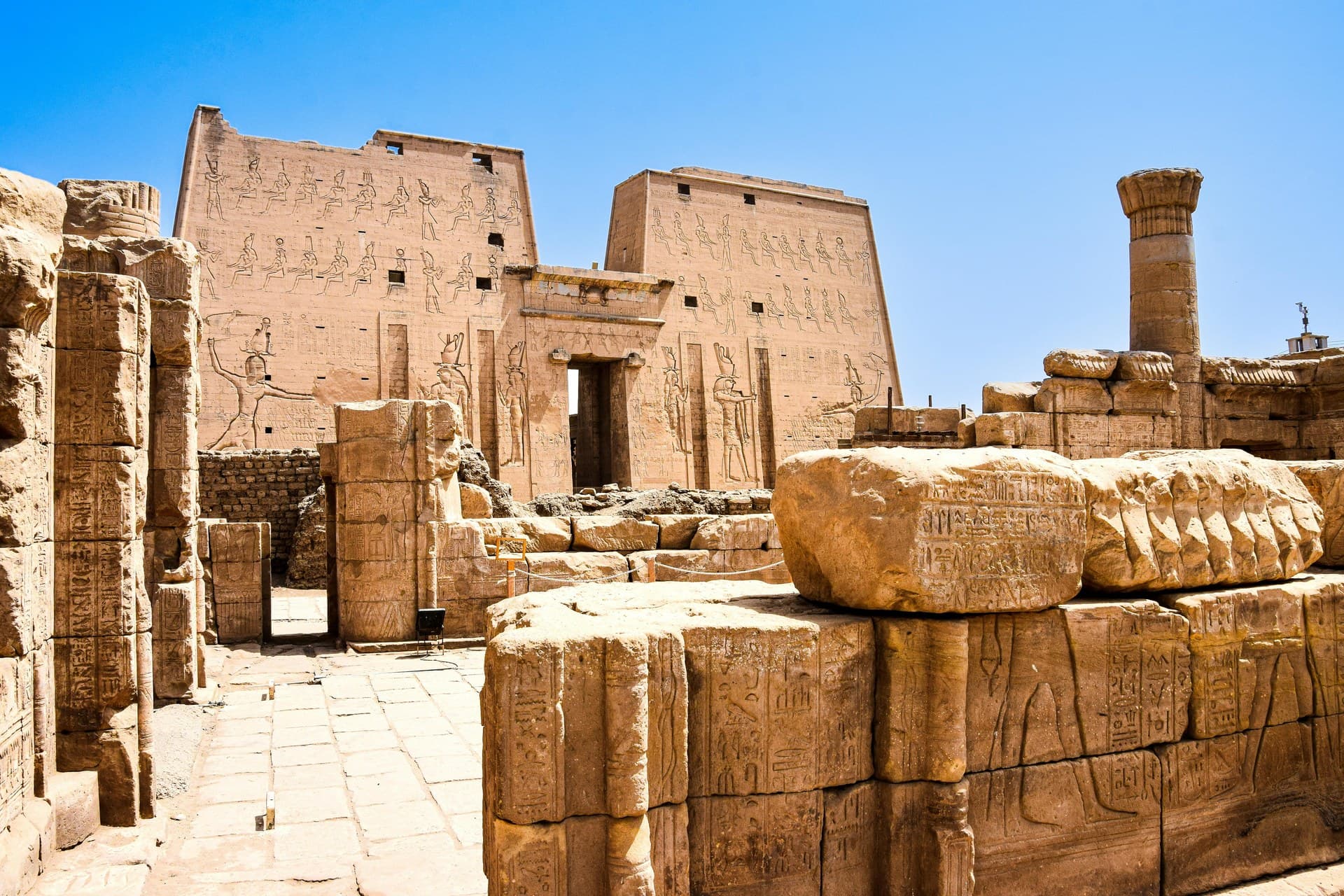
Measuring that flood was a formal business. Nilometers — stairways cut down to river level, graduated in cubits — survive at Elephantine Island in Aswan and at Edfu and Kom Ombo. The best preserved is on Roda Island in Cairo, built in AD 861 under the caliph al-Mutawakkil, and its reading set the year's tax.
The flood ended in 1970 with the completion of the Aswan High Dam. The switch away from a single silt-fed harvest had begun long before that: perennial irrigation spread across the Delta and Middle Egypt over the previous century, from the Delta Barrages begun in the 1840s to the Aswan Low Dam of 1902 and its two heightenings. What the High Dam did was finish the job in Upper Egypt, where basin irrigation and its one annual crop had survived — and with it the ancient rhythm of the country stopped.
The dam also drowned Nubia. A UNESCO campaign launched in 1960 moved the monuments in its way: Abu Simbel was cut into more than a thousand blocks between 1964 and 1968 and rebuilt about 65 metres higher, and Philae was re-erected on the neighbouring island of Agilkia by 1980.
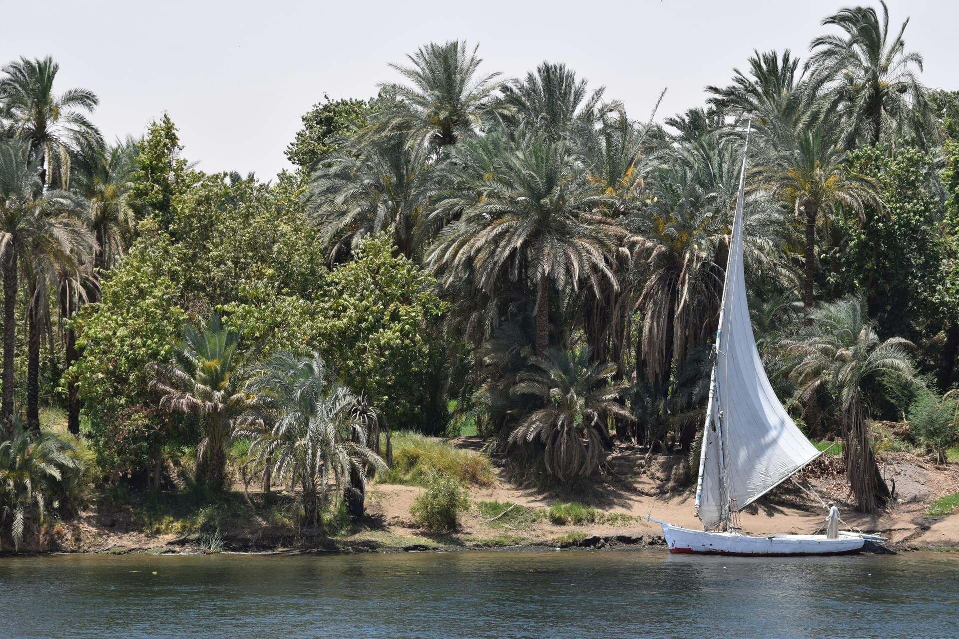
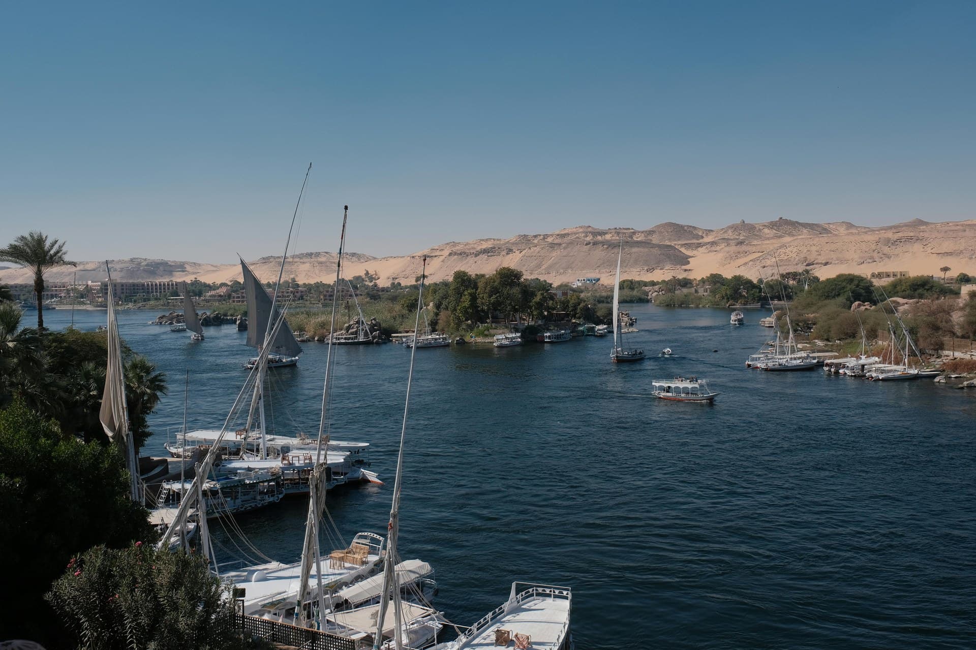
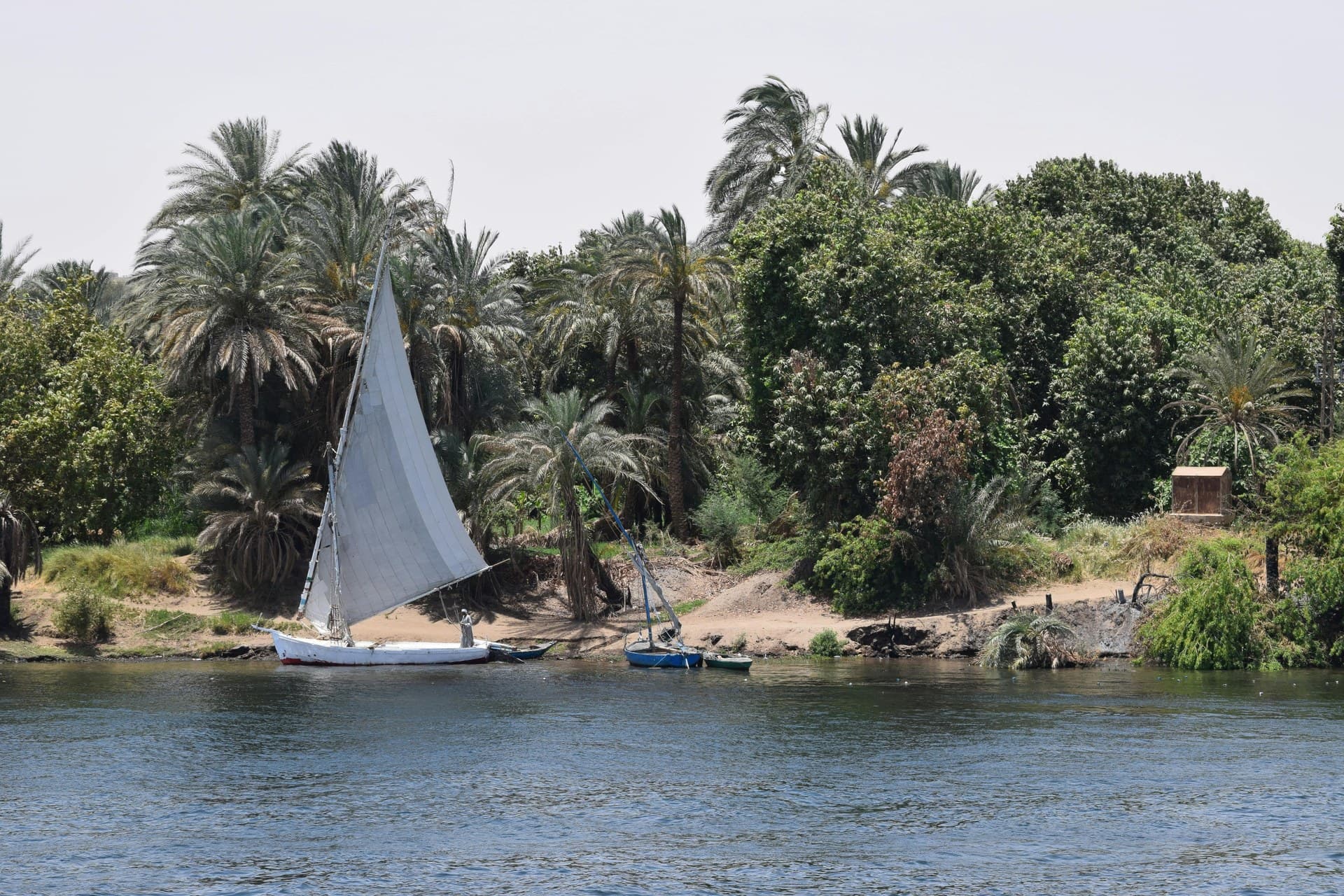
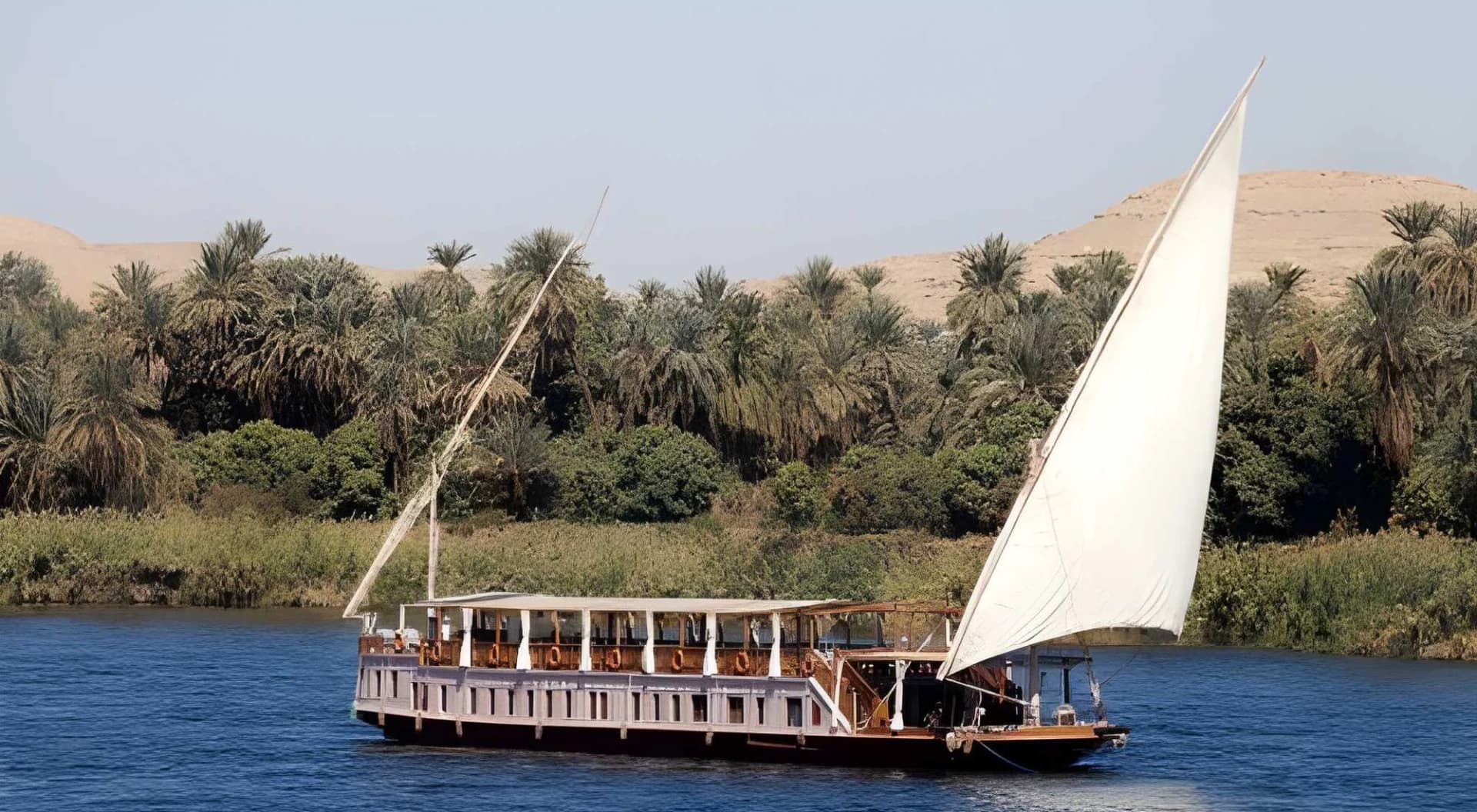
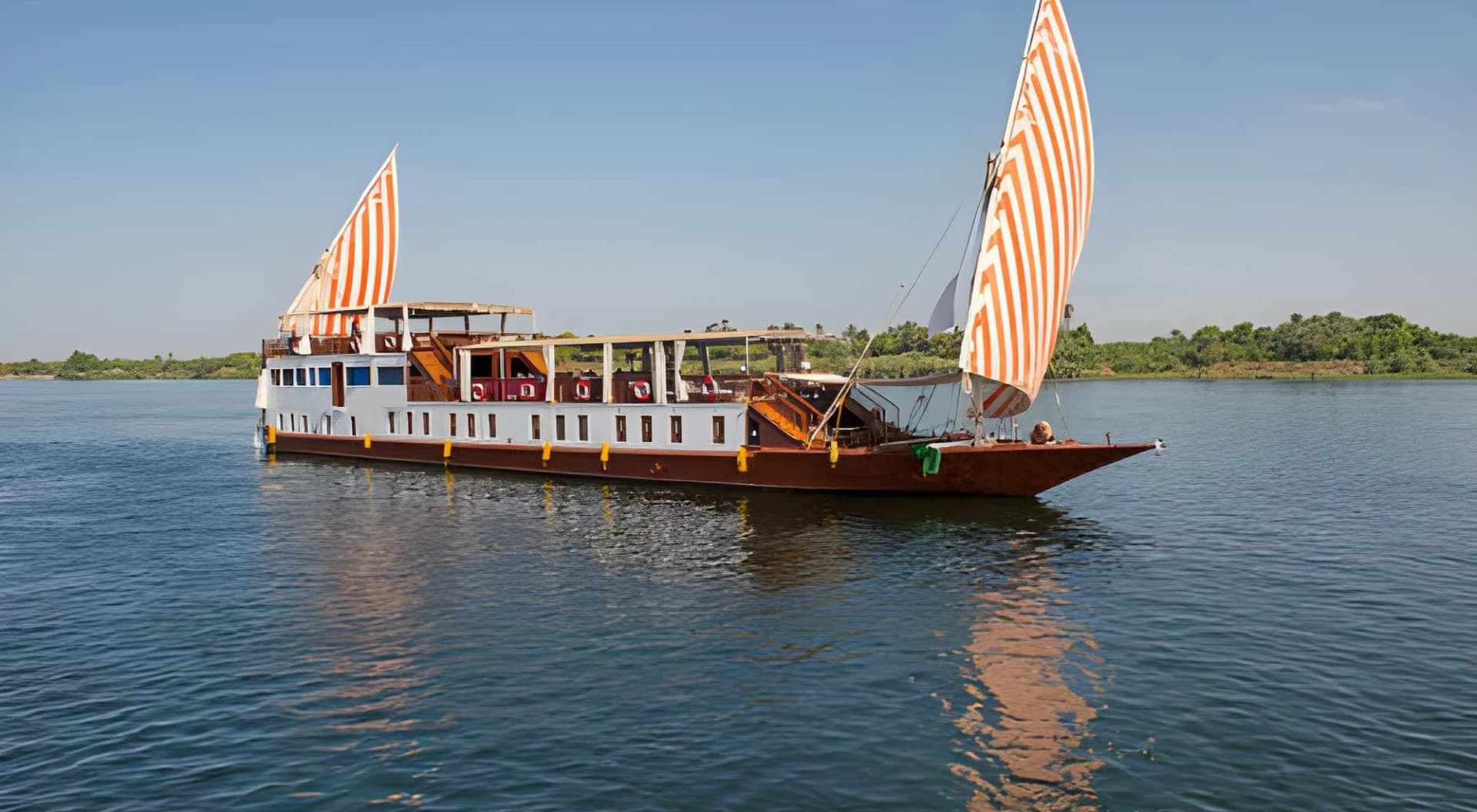
The river was also the highway. Sailing upstream on the prevailing north wind and drifting downstream on the current, boats moved people, grain, stone and armies. The hieroglyph for travelling south is a boat with a sail up; for travelling north, a boat with the sail down.